| “County Boundary Line Established”
Carroll County Times Article for 8 October 2000 When Carroll County was formed from parts of Frederick and Baltimore Counties in 1837, the boundary line included typical natural features commonly used in eighteenth and nineteenth surveying. The exact location of the boundary became a subject of interest a century later during the celebration of the Carroll County Centennial. The February 26, 1937 issue of the Democratic Advocate carried a story about an effort to “establish beyond dispute the boundary line between the two counties.”: |
| “Approval was given by the County Commissioners of Frederick County Monday afternoon to the proposal of the Carroll County Commissioners to seek legislative authority for appointment of a commission to establish beyond dispute the boundary line between the two counties.
The path, an outgrowth of Carroll county’s centennial celebration and recommended by Chief Judge Francis Neal Parke, of Westminster, and the Carroll County Bar Association, was laid before the Frederick county officials at a joint conference held in the Commissioner’s office in the courthouse. The delegation from Carroll county consisted of Charles W. Melville, president of the Board of County Commissioners; A. Earl Shipley, attorney to the Carroll County Commissioners; James E. Boylan, Jr., former attorney to the Board; Theodore F. Brown, former States Attorney and D. Eugene Walsh, comprising a special committee from the Carroll County Bar Association; and John J. John, of New Windsor, County Surveyor. The Frederick County group included County Commissioners A. H. Derr, U. Grant Hooper and Jesse I. Renner; Edward S. Delaplaine, attorney to the board; State Senator Harvey W. LeGore; Archley R. Molesworth, clerk to the County Commissioners; and County Surveyor, Frank W. Rothenhoefer. Mr. Boylan, chairman of the Bar Association committee, presented a proposed measure, authorizing the appointment of a commission with the authority to determine the boundary between the two counties. He explained that in the course of 100 years the beds of the streams and of Buffalo Road, mentioned in century old act of the Legislature when Carroll was carved out of Frederick county, have changed considerably, and the exact location of the dividing line is now a vexatious question. After a two-hour session, it was agreed to recommend to the Legislature the appointment of the county commissioners of the two counties as the official members of the boundary commission. It was suggested that the survey be made of the southern part of the boundary as the northern part, it is believed, is fairly well determined by the course of the Monocacy river and Pipe Creek. Mr. Shipley, attorney to the Carroll board, explained that since the centenary of the county is being held this year the Carroll countians are anxious to pass the enabling act and complete the survey and official plats during 1937 as a part of the centennial observance. The bill, if approved by the Legislature and signed by the Governor, will take effect June 1.” |
| The establishment of the boundary line with Frederick County apparently solved the “vexation question.” |
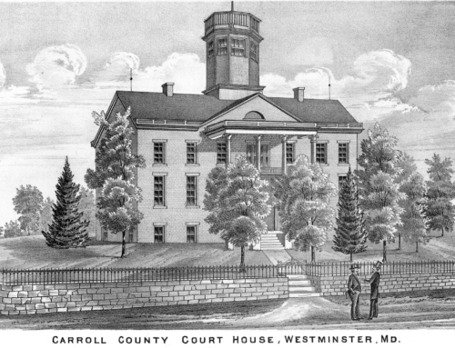
| Photo caption: | In 1937 Chief Judge Francis Neal Parke recommended a survey to determine the exact boundary line between Carroll and Frederick Counties. Historical Society of Carroll County Collection, gift of Mrs. Helen Widerman, 1998. |